
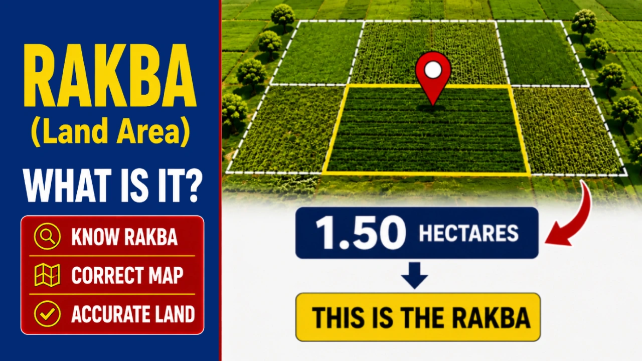
Rakba (Area) refers to the total area of a piece of land, agricultural field, or plot. This area is officially recorded in government documents such as the Khatauni, Jamabandi, Khasra, and registered Sale Deed. If the recorded land area is incorrect, it can lead to problems during property sales, bank loan approvals, inheritance, family partition, and updates to government land records.
In this guide, you’ll learn what Rakba means, how land is measured accurately, the difference between common land measurement units such as Bigha, Kattha, Acre, and Hectare, how to calculate your land area, and the legal process for correcting incorrect land area in official records.
In Short: Rakba refers to the total land area recorded in official land records, including the Khatauni, Jamabandi, Khasra, and Sale Deed. Every landowner should verify that the recorded area matches the actual property to avoid future legal or ownership disputes.
What is Rakba (Property Area)?
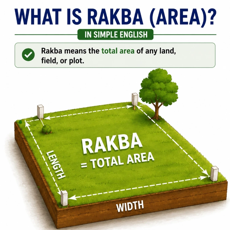
Rakba simply means the total surface area of a piece of land, farm, or plot. In official paperwork like your Khatauni, Jamabandi, Khasra, or registered Sale Deed, this area is written down using measurements like hectares, acres, Bigha, Kattha, or square meters. If the recorded area does not match the actual land on the ground, you may face legal disputes, delays in property registration, difficulties obtaining bank loans, or problems during future property sales.
If you are about to buy a plot, do not just blindly trust the total area number. Make sure to cross-check that the calculated area, physical boundaries (Chauhaddi), and other plot entries perfectly match what is written inside the official Sale Deed (Registry).
Top 3 Reasons Why Land Area Shows Up Less on Paper
If your land area looks short in official documents, it is usually because of one of these three common reasons:
- Typing Mistakes During Digitalization: When state governments moved old handwritten paper registers into online computer databases, data entry operators often made careless mistakes. Missing a decimal point or typing a wrong digit can instantly cut your land area in half on the digital portal.
- Errors During Land Consolidation (Chakbandi): When villages go through land restructuring or Chakbandi, plots are remeasured. During this massive shuffle, previous area records are sometimes miscalculated or copied wrongly into the new master books.
- Fraud or Faulty Family Partitions: During verbal or informal family divisions, things are not legally recorded. If one family member transfers more land than their legal share, it automatically leaves less area for the remaining family members on paper.
How is Land Measured Properly?
To save yourself from land scams and measurement tricks, you should understand the three main types of measurement units used across India. Knowing these makes it easy to understand your land area:
1. Standard National and International Units
These units are standard units used across India and the globe. Courts, banks, and standard legal contracts strictly look at these numbers:
- Square Feet (Sq. Ft.): This is the default unit for plots, houses, and apartments in urban locations. (For instance, a standard 30×40 urban plot equals 1,200 sq. ft.)
- Acre: The most popular unit to talk about large agricultural fields in rural spaces. 1 Acre is exactly equal to 43,560 Square Feet.
- Hectare: This is the purely official government unit used by the government. Your online Khatauni or Jamabandi will almost always list your area in hectares. 1 Hectare equals 2.47 Acres (or roughly 1,07,639 Square Feet).
2. Regional and Local Units
These regional measurements come from local history and traditions. The most interesting part is that the size of these units changes completely from one state to another:
- Bigha: Widely popular across Northern and Central India (UP, MP, Bihar, Rajasthan, Punjab). Bigha is divided into two types: Kaccha Bigha and Pakka Bigha. Generally, 1 Pakka Bigha holds 3 Kaccha Bighas. In various parts of Uttar Pradesh, 1 Pakka Bigha is 27,000 sq. ft., while its size varies slightly in Rajasthan or Madhya Pradesh.
- Biswa: A smaller unit beneath a Bigha. In most North Indian states, 1 Bigha consists of 20 Biswa.
- Kattha and Dhur: If your land is in Bihar, Jharkhand, or Eastern UP, local deals happen in Kattha and Dhur. 20 Dhur make up 1 Kattha, and 20 Kattha make 1 Bigha.
- Kanal and Marla: Used everyday across Punjab, Haryana, and Himachal Pradesh. 1 Kanal is equal to 20 Marlas.
- Gunta and Anakanam: Popular across South Indian states like Karnataka, Andhra Pradesh, and Telangana. 1 Acre is equal to 40 Gunta of land.
3. Traditional Measuring Tools Used by Land Officials
When a government land surveyor (Ameen, Lekhpal, or Patwari) visits your plot for a measurement, they use standard tapes alongside these age-old regional tools:
Quick Land Measurement Reference
| Unit | Equivalent |
|---|---|
| 1 Acre | 43,560 sq. ft. |
| 1 Hectare | 2.471 Acres |
| 1 Kanal | 20 Marla |
| 1 Bigha (UP) | 27,000 sq. ft. |
| 1 Kattha (Bihar) | 1,361.25 sq. ft. |
How to Verify if Your Recorded Area is Correct
To verify if your land records are clear, look up the total registered area listed inside your latest digital land portal copy, Khatauni, or Jamabandi. Next, have the land physically measured on-site and match the two measurements. If you notice a difference, check the local property maps (Shajra Map), plot numbers (Khasra), and older manual registration books to verify the true legal boundaries.
If you are dealing with joint family land records, confirm whether a legal partition or division deed (Ansh Nirdharan) was ever officially registered. Many times, an uneven manual partition among brothers creates an area shortage inside official records.
- Jarib (Gunter’s Chain): A long, heavy chain made out of iron links. A standard classic Jarib spans a total length of 66 feet and carries exactly 100 links. This means each link measures roughly 7.92 inches.
- Latha or Gattha: This is a solid wooden rod carried by village land officers. It typically measures 99 inches (8 feet 3 inches) in length. A square plot measuring 20 Latha long by 20 Latha wide forms exactly 1 Biswa of land.
Smart Tip: If you want to find your land area yourself, simply measure the length and width of your plot in feet. Multiply those two numbers together to find the total Square Feet. Then, use our free calculator below to convert it into your state’s local Bigha, Acre, or Hectare values instantly.
Rakba (Area) Calculator: Find Your Land Area Instantly
Enter the length and width of your land. This calculator will compute the total area of your farm or plot and automatically convert it into Bigha, Acre, Hectare, and other local regional units.
📋 Calculation Results (≈ Estimated Area)
💡 This Area is Roughly Equal To:
🏏 Easy Visual Comparisons:
📌 Quick Land Measurement Conversions
The Legal Step-by-Step Way to Correct a Missing Land Area
If your digital land records or online portals display a smaller land area than what exists physically on your plot, you will need to open a formal application in the local revenue court. Here is the exact step-by-step legal procedure to get this mistake corrected:
Step 1: File an Application for Boundary Correction (Hadbandi)
To correct a property area mistake on paper, you must file an official petition before the Sub-Divisional Magistrate (SDM) or the local revenue court in your jurisdiction. In standard legal terms, this is called a Boundary Demarcation Suit (Hadbandi or Medbandi).
The procedure for boundary demarcation varies by state. In many states, including Uttar Pradesh, applications are submitted before the Sub-Divisional Magistrate (SDM) or the competent revenue authority under the applicable state revenue laws.
Step 2: Pay the Official Boundary Survey Fee
Once your application is initially accepted by the SDM, the court will direct you to pay a standard government processing fee for an official physical measurement. You must pay the survey fee via a government challan at a designated state bank or treasury and submit the payment receipt directly back to the court room.
Step 3: Service of Notices to Bordering Neighbors
Before any land measurement can begin, the local authority office serves a formal legal notice to all property owners whose lands border your plot. This ensures total transparency, prevents unexpected fights on the day of the survey, and gives neighbors a chance to verify that you are not eating into their properties to increase your area.
Step 4: On-Site Plot Survey by the Revenue Team
On the scheduled date, a specialized revenue team consisting of a Revenue Inspector (Kanungo), your local Lekhpal or Patwari, and a government surveyor (Ameen) will arrive at your plot. They might request local police protection or independent village witnesses to ensure a avoid disputes. The team establishes three fixed, old permanent markers in the village (like an old stone marker, a concrete well, or a main road junction) as their base. Using these, they measure the four corners of your plot according to the official village map (Shajra Naksha).
Step 5: Submission of Field Book and Final Court Order
After completing the measurements, the surveyor creates a fresh layout map and a detailed Field Book containing a complete on-ground report. This field book is sent through the Tehsildar directly to the SDM court. The SDM reviews the surveyor’s findings, hears both sides, and issues a final order to correct the area record.
Step 6: Updating of Land Records by the Patwari
The moment the SDM court issues the final order, an official copy is sent to your local Patwari or Lekhpal. The officer then updates the government register and edits the online portal, removing the old wrong area entry and typing in the newly approved, correct area.
Important Note: This entire legal procedure generally takes around 3 to 6 months to resolve. To avoid mistakes, it is wise to hire an experienced local civil or revenue lawyer who handles documentation and court dates smoothly.
What is an ETS (Electronic Total Station) and Drone Survey?
Modern technology has completely replaced old, less accurate manual tape measurements. Many Indian states now use ETS (Electronic Total Station) machines and Drone Mapping for land calculations. An ETS machine uses laser rays connected with satellite coordinates to pinpoint boundaries down to the millimeter, eliminating any human bias. If you do not trust a manual survey conducted by a local अमीन, you can request an ETS digital survey at the local office by paying a small extra fee.
ETS (Electronic Total Station) surveys provide highly accurate measurements and are widely used by revenue authorities and courts as technical evidence. However, the final decision always depends on the applicable legal procedure and the evidence presented in each case.
What to Do if a Neighbor Has Grabbed Your Land
Sometimes, your land records are perfect on paper, but the actual ground area falls short because an aggressive neighbor has quietly moved the boundary line or fence (Med) to grab your space. In this situation, you must file a boundary dispute case in the local SDM court immediately.
The Rule of Possession Recovery: When the official team performs an survey based on the village Shajra map and finds out that a neighbor has encroached on your territory, the court does not stop at just changing papers. Following the final court order, the team will visit the location with police force, clear the illegal encroachment, rebuild your original boundary lines, and hand back the full physical possession of the land to you.
What is a Shajra Map and Why Does It Matter?
A Shajra is a large master map of your entire village or revenue area drawn on a heavy tracing cloth or specialized paper sheet. It displays every plot along with its unique Khasra number. While words written inside a Khatauni can sometimes contain typographical errors, the master Shajra map kept inside the government records is always treated as the ultimate truth. Whenever a land area conflict breaks out, surveyors look at this map first to determine the original geometric shape and boundaries of your land.
Frequently Asked Questions (FAQ)
What can I do if a neighbor physically stops the land survey team?
You can pay an additional fee at the local administration office to request official Police Protection. The surveyor will then complete the boundary measurement peacefully in the presence of police officers.
Do I need to sign a new Sale Deed after my land area is corrected?
No, not at all. The formal correction order passed by the SDM court is more than enough evidence under law. You do not need to execute or pay for a new property registration. Keep in mind that updating land records is separate from transferring a name.To understand this difference, you can check our guide on [Registry vs Mutation] changes.
Where can I file a complaint if a land surveyor does a wrong measurement?
You can file a formal objection against the surveyor’s report directly inside the SDM Court. If the magistrate finds your objection valid, they can order a fresh measurement under the supervision of a senior revenue officer.
What should I do if my land area was simply typed wrongly on the computer portal?
If it is just a typing mistake from a manual register, you do not need to fight a long court case. You can present your old handwritten manual records to the Tehsildar or District Collector (DM) office to get the portal data updated directly.
How long does the land area correction process usually take?
If your neighbors do not raise serious objections and all your past ownership deeds are clear, the entire process through the local office and SDM court takes around 3 to 6 months to be completed.
Conclusion
A missing land area entry inside government documents may result from a data-entry mistake, an outdated survey, or an unresolved boundary dispute, but ignoring it can cause massive roadblocks when you try to sell your property or apply for bank financing down the line. The moment you spot a mismatch, meet your local Lekhpal or Patwari or apply for an official look directly at the Tehsil. Always keep your property boundaries and layout maps accurate, because a clean and correct area entry in official land records is your important legal record.
Disclaimer: Property laws, survey fees, and land measurements shift significantly across various Indian states. Always cross-verify the latest operational guidelines with your local Sub-Registrar Office or consult a qualified property lawyer before completing a transaction.

Neha Yadav is an engineer and researcher specializing in Indian land records, property documentation, and government land procedures.
At BhumiGyan, she creates well-researched, easy-to-understand guides on topics such as Bhulekh, Jamabandi, property registration, Sale Deeds, Mutation, and other legal property processes, helping readers make informed property decisions with confidence.